Applications
Infrastructures
Occuring overtime or during exceptional events (floods, high tidal range, etc.), erosion causes large damages on water infrastructures, generally resulting in operational and structural malfunctions. Besides, silting and sedimentation modify hydrological properties of water transfer and storage infrastructures. To comply with national regulations, operators and utilities must therefore assess the structure conditions and the damages on a regular basis.
Subsea Tech offers visual and sonar inspection solutions as well as measurement and 3D modelling tools for underwater infrastructures in order to support the utilities in their O&M missions and to prevent related technological risks.
Underwater civil work inspection
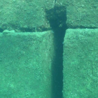
Civil work of underwater infrastructures faces mainy constraints. Erosion, scouring, impacts with heavy rubble carried by rivers and waves, etc. are sources of deep structural damage that can have direct consequences on people safety. Subsea Tech offers underwater inspection services and equipment to identify and measure structural damages. Inspections may be carried out with simple underwater video camera or with a mini-ROV for deeper and long range missions. Visual inspection can be completed by acoustic inspections, which allow visualization of infrastructures and defects even in very low visibility conditions, or by laser inspection when high resolution modelling is at stake. Main concerned infrastructures : dam walls, bridge footers, piers and dikes, underwater infrastructure basement, etc.
Missions
- Visual inspection using underwater video camera or mini-ROV
- 2D imaging sonar inspection (stand-alone device or mounted on mini-ROV or USV)
- 3D imaging sonar inspection for underwater infrastructure 3D modelling
- Defect size measurement (cracks, etc.) with laser scaling tool pounted on mini-ROV
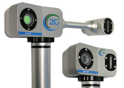
- Infrastructure high resolution (mm) 3D modelling using laser scanner
Benefits
- Quick and easy deployment thanks to system compactness and portability
- Increasing operation flexibility thanks to single operator deployment
- Cost saving solutions
- Increasing operator safety
Recommended products
Inspection of confined areas
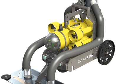
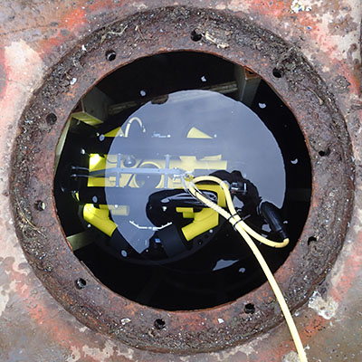
Many water transfer and storage infrastructures are partially or totally inaccessible for man due to their structural features and for safety concerns. Subsea Tech provides the operators and their subcontractors with the ultimate tools to inspect these confined areas in order to optimize maintenance scheduling. In addition to their visual inspection capacities over more than 500m distances, Subsea Tech’s mini-ROVs can also embed various sensors such as imaging sonar, laser scanner for 3D modelling of the environment or profiler sonar to check pipe roundness.
Subsea Tech also developed an autonomous system able to carry out inspections over distances up to 5km. This AUV is a unique tool for underground flooded gallery, sea outfall and sewage inspection.
Main concerned infrastructures : sewage, storm water drainage, water storage tanks, flooded galleries, etc.
Missions
- Internal visual inspection of pipes (Ø 250mm minimum)
- Inspection and cleaning of water storage tanks
- Pipe roundness checking with profiler sonar
- Laser scan for high resolution 3D modelling (mm) of confined areas
- Metallic infrastructure thickness measurement with US gauge (deployed with mini-ROV)
- Long range inspections of confined areas (galleries, outfalls, etc.)
Benefits
- Cost saving solutions
- Access to confined areas
- Decision support and maintenance scheduling tool
Recommended products
Bathymetry survey
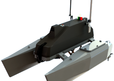
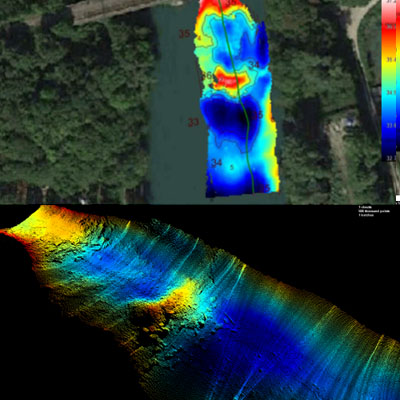
Alluvial deposits and silting process naturally model riverbeds and reservoir bottoms. Riverbed evolution has serious impact on hydrological properties of streams, on dam storage capacities and on channel/port access. It is therefore a challenge for the utilities managing these infrastructures to monitor this evolution through regular bathymetry surveys. Bathymetric data allow updating the hydrological modellings and scheduling dredging operations. Subsea Tech provides the stakeholders with innovative and economical survey solutions, using USV to increase operator safety.
Main concerned areas : rivers, channels, reservoirs/dams, harbour areas, irrgation ponds, etc.
Missions
- 2D bathymetry using single beam echosounder
- 3D bathymetry using multibeam echosounder
- Target search and 3D modelling multibeam echosounder
Benefits
- Increasing knowledge of the riverbeds and ocean floors.
- Increasing accuracy of flooding risks modelling
- Cost saving survey solution
- Increasing operator’s safety
- Increasing operation flexibility

